")
")
The Alpe Adria Cycle Route starts from the train station of the picturesque alpine village of Mallnitz, one of the gateways to the wonderful Hohe Tauern Nature Park. From this delightful alpine village a very long and panoramic downhill will make us descend quickly towards the bottom of the valley offering us spectacular views of the surrounding mountains.
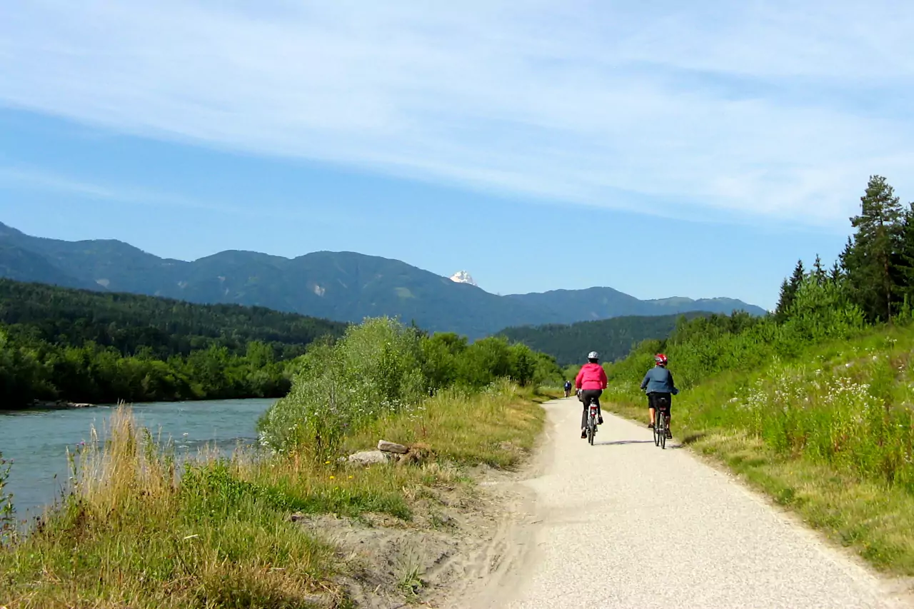
In Obervellach we meet the cycle path that runs along the river Möll. The beautiful cycle path (tabulated as R8 - Glockner Radweg) which does not always run along the river: the route often leads us along the slopes of the valley to discover the delightful alpine villages that characterize this area. At the end of this valley, near the town of Möllbrücke, we meet the river Drava and its famous cycle path (signposted as R1 - Drauradweg) which will make us quickly reach the delightful city of Spittal an der Drau.
Beyond Spittal, the Drava Cycle Path almost always continues along the river, which in this stretch winds through a wide, expertly cultivated valley. After passing a bottleneck in the valley you arrive in Villach, one of the most important Austrian cities characterized by an elegant historic center.
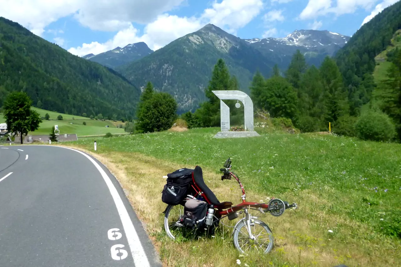
Just outside the city we leave the Drava cycle path to go up the river Gail, pedaling on the Gail river cycle path that after a few kilometers we leave to follow the signs of the R3C cycle path (Tarviser Radweg). After the village of Arnoldstein the slope of the cycle path becomes more marked but still pedalable and in a few kilometers you reach the Italian border at the Coccau pass.
The track in detail:
Coming soon